GS Paper I — Q14
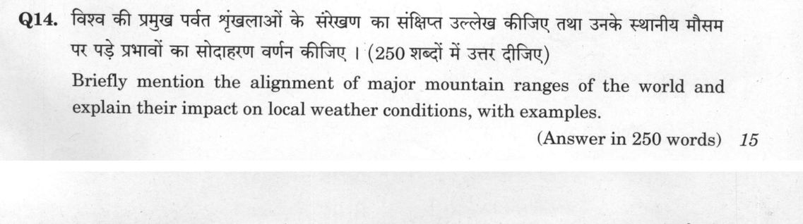
Briefly mention the alignment of major mountain ranges of the world and explain their impact on local weather conditions, with…
Briefly mention the alignment of major mountain ranges of the world and explain their impact on local weather conditions, with examples. (Answer in 250 words) 15 marks
हिंदी में प्रश्न पढ़ें
विश्व की प्रमुख पर्वत श्रृंखलाओं के संरेखण का संक्षिप्त उल्लेख कीजिए तथा उनके स्थानीय मौसम पर पड़े प्रभावों का सोदाहरण वर्णन कीजिए । (250 शब्दों में उत्तर दीजिए)
Model answer
Written by UPSC Answer Check against this question's marking rubric, to the 250-word length. UPSC does not publish answers for Mains — this is one way to score well, not an official key.
Mountain ranges are aligned by plate tectonics and orogeny, and their strike determines how they intercept prevailing winds. This is especially important where ranges cross prevailing wind belts. North–south ranges such as the Rockies and Andes block zonal westerlies. Moist air is forced to rise on the windward side, cools adiabatically, and gives orographic precipitation; descending air on the leeward side warms and dries, creating rain shadows. The Great Basin east of the Rockies and the dry Patagonian zone east of the Andes show this effect. East–west ranges such as the Himalayas and Alps act as broad climatic barriers and monsoon triggers. The Himalayas trap cold Siberian air in winter, enhance uplift of the southwesterly monsoon, and concentrate orographic rainfall along the foothills, Terai and sub-Himalayan belt, while the leeward Tibetan Plateau is drier; in India, this barrier helps maintain the monsoon by blocking northward flow. The Alps divide Mediterranean and continental air, producing foehn winds; cold-air drainage in valleys can create temperature inversions, fog and frost. Oblique alignments, not a uniform NW–SE trend, also intercept moisture: the Western Ghats, trending roughly N–S/NNW–SSE, block the Arabian Sea monsoon, giving heavy windward rain and a drier leeward Deccan, though not uniformly semi-arid; the Appalachians, trending NE–SW, moderate Atlantic moisture and local precipitation. Orographic lift cools air to saturation; descent warms it, producing dry, warm chinook/foehn winds, with chinooks warming the eastern Rocky slopes. Thus alignment shapes rainfall, temperature extremes and monsoon behaviour, making mountain strike a key determinant of local climate.
What "Explain" is asking you to do
Make the working of something clear — what sets it off, what follows from what, and what it produces. Explain is the Commission's mechanism word: it dominates the technical papers and the “explain why” stems, where the marks sit in the causal chain and not in the label.
Structure that answers it
State what it is → the initiating condition → the chain of cause, step by step → an instance where it plays out → what the chain produces
Where marks are lost
Describing what something looks like instead of why it works that way. Naming the stages without linking them reads as description too.
How this answer will be evaluated
Approach
Framework: GS1 Geography: Physical Geography (Mountain Ranges & Climate). explain: definition/context > points in order > small example > short close Full marks: Clear alignment map + mechanism of rain shadow/orographic lift + specific examples.
Key points expected
- Identify major ranges (Himalayas, Andes, Rockies, Alps)
- Explain alignment (Circum-Pacific, Alpine-Himalayan belts)
- Explain rain shadow effect mechanism
- Explain orographic precipitation mechanism
Evaluation rubric
Each sub-part is marked on its own, against the marks and word limit printed on the paper.
- The answer Describe global mountain alignment and analyze their climatic impact with examples. 15 marks · 250 words
explain— definition/context → points in order → small example → short close
Must cover
- Identify major ranges (Himalayas, Andes, Rockies, Alps)
- Explain alignment (Circum-Pacific, Alpine-Himalayan belts)
- Explain rain shadow effect mechanism
- Explain orographic precipitation mechanism
Loses marks
- Listing ranges without explaining alignment
- Describing weather without linking to mountains
- Narrating chronology of mountain formation
Earns more
- Mention specific local weather changes (e.g., Gobi desert)
- Reference jet stream deflection
- Mention temperature lapse rate
- Reference specific wind patterns (Westerlies/Monsoon)
Extra mark
- 30-second sketch map of global ranges
- Specific statistic on rainfall difference (windward vs leeward)
Practice this exact question
Write your answer and it is marked point by point against the model answer above — what you covered, what you missed, what you got wrong.
Evaluate my answer →More from General Studies 2021 GS Paper I
- Q11 To what extent did the role of the Moderates prepare a base for the wider freedom movemen…
- Q12 Bring out the constructive programmes of Mahatma Gandhi during Non-Cooperation Movement a…
- Q13 "There arose a serious challenge to the Democratic State System between the two World War…
- Q14 Briefly mention the alignment of major mountain ranges of the world and explain their imp…
- Q15 How do the melting of the Arctic ice and glaciers of the Antarctic differently affect the…
- Q16 Discuss the multi-dimensional implications of uneven distribution of mineral oil in the w…
- Q17 What are the main socio-economic implications arising out of the development of IT indust…