Paper I — Q5
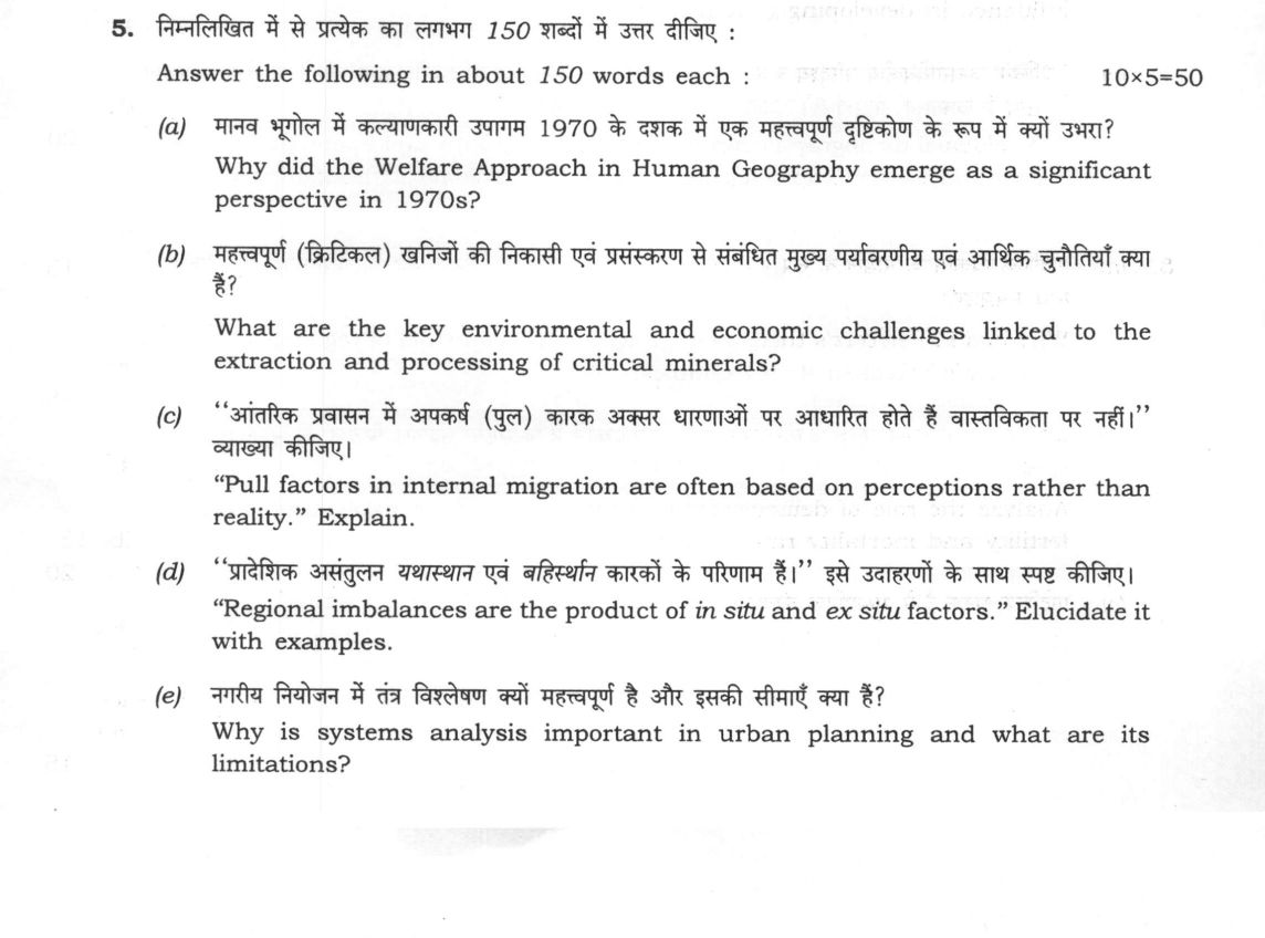
Answer the following in about 150 words each: (a) Why did the Welfare Approach in Human Geography emerge as a significant…
Answer the following in about 150 words each:
Why did the Welfare Approach in Human Geography emerge as a significant perspective in 1970s? 10 marks
What are the key environmental and economic challenges linked to the extraction and processing of critical minerals? 10 marks
"Pull factors in internal migration are often based on perceptions rather than reality." Explain. 10 marks
"Regional imbalances are the product of in situ and ex situ factors." Elucidate it with examples. 10 marks
Why is systems analysis important in urban planning and what are its limitations? 10 marks
हिंदी में प्रश्न पढ़ें
निम्नलिखित में से प्रत्येक का लगभग 150 शब्दों में उत्तर दीजिए :
मानव भूगोल में कल्याणकारी उपागम 1970 के दशक में एक महत्त्वपूर्ण दृष्टिकोण के रूप में क्यों उभरा? (10 अंक)
महत्त्वपूर्ण (क्रिटिकल) खनिजों की निकासी एवं प्रसंस्करण से संबंधित मुख्य पर्यावरणीय एवं आर्थिक चुनौतियाँ क्या हैं? (10 अंक)
"आंतरिक प्रवासन में अपकर्ष (पुल) कारक अक्सर धारणाओं पर आधारित होते हैं वास्तविकता पर नहीं।" व्याख्या कीजिए। (10 अंक)
"प्रादेशिक असंतुलन यथास्थान एवं बहिस्थान कारकों के परिणाम हैं।" इसे उदाहरणों के साथ स्पष्ट कीजिए। (10 अंक)
नगरीय नियोजन में तंत्र विश्लेषण क्यों महत्त्वपूर्ण है और इसकी सीमाएँ क्या हैं? (10 अंक)
Model answer
Written by UPSC Answer Check against this question's marking rubric, to the 150-word length. UPSC does not publish answers for Mains — this is one way to score well, not an official key.
(a) Emergence of the Welfare Approach in Human Geography
The Welfare Approach emerged in the early 1970s as a direct critique of the Quantitative Revolution and its positivist, mechanistic spatial modeling. Spatial science had reduced human beings to rational economic points on isotropic plains, completely ignoring acute real-world crises such as poverty, territorial inequality, racial segregation, and spatial deprivation.
Catalyzed by the global "social relevance movement" and civil rights protests, geographers shifted focus from pure geometry to social justice. Pioneered by D.M. Smith through his seminal framework of "who gets what, where, and how," welfare geography redefined the discipline around human well-being, the territorial distribution of basic needs, and social indicators like healthcare, nutrition, and housing. Along with David Harvey's early transition from liberal to radical geography, this paradigm displaced value-free positivism with normative perspectives, establishing that spatial distributions of goods and "bads" are structural outcomes of socio-economic systems rather than natural market equilibriums.
(b) Challenges in Critical Minerals Extraction and Processing
Critical minerals like lithium, cobalt, nickel, and rare earth elements (REEs) are fundamental to the global green transition, yet their extraction and refining impose severe environmental and economic challenges.
Environmentally, extraction causes widespread landscape degradation, biodiversity loss, and immense water depletion. For instance, lithium brine extraction in South America's "Lithium Triangle" severely depletes hydrological basins, while REE processing generates toxic acid-mine drainage, heavy-metal contamination, and hazardous radioactive tailings, as observed in Bayan Obo, China.
Economically, these minerals suffer from severe supply-chain concentration, where China controls over 60% of mining and 80% of refining, creating acute geopolitical dependencies and price volatility. Developing economies face the "resource curse," characterized by weak domestic value addition, high capital intensity, and Dutch disease. Furthermore, low recycling efficiency and underdeveloped circular economy frameworks fail to mitigate raw material supply shocks, endangering long-term industrial resilience.
(c) Perceptions versus Reality in Migration Pull Factors
Pull factors driving internal migration are fundamentally mediated through subjective cognitive maps rather than objective realities. Julian Wolpert’s concept of "Place Utility" and Everett Lee’s Push-Pull theory demonstrate that migration occurs not on actual regional wage differentials, but on the perceived net utility of destination areas.
Information asymmetry acts as a primary distortion mechanism. Return migrants and selective communication generate a remittance-driven perception gap, where consumption displays conceal exploitative working conditions, low real wages, and severe socio-spatial deprivation in destination cities. As formulated in the Harris-Todaro model, aspirational rural migrants migrate based on expected, rather than actual, urban income gains. In India, massive rural-to-urban distress migration to Tier-1 agglomerations like Mumbai and Delhi frequently confronts the reality of urban informalization, lack of social safety nets, high living costs, and subhuman existence in informal settlements like Dharavi, transforming perceived urban prosperity into persistent vulnerability.
(d) In Situ and Ex Situ Determinants of Regional Imbalances
Regional imbalances reflect the interplay between endogenous regional characteristics (in situ) and external structural interventions (ex situ), generating Gunnar Myrdal’s process of cumulative causation.
In situ factors comprise intrinsic natural resource endowments, geographical terrain, demographic profiles, and agglomeration economies. For example, coastal western states like Gujarat and Maharashtra leveraged natural port connectivity and historical merchant capital to build early industrial hubs, whereas geographically locked regions like Bundelkhand remain trapped in cyclical underdevelopment due to rugged terrain and recurrent drought.
Conversely, ex situ factors are exogenous policy distortions, external investments, and integration into national and global markets. The post-independence Freight Equalization Policy (1952) stripped the mineral-rich eastern states of Bihar, Jharkhand, and Odisha of their natural location advantages, subsidizing industrialization elsewhere. Similarly, selective infrastructure investments like the Delhi-Mumbai Industrial Corridor (DMIC) generate backwash effects, pulling capital and skilled labor from backward interiors like the KBK region of Odisha, cementing spatial dualism.
(e) Systems Analysis in Urban Planning and Its Limitations
Systems analysis conceptualizes the city not as a collection of static structures, but as a complex, open, dynamic ecosystem of interconnected subsystems, including transportation, housing, commerce, governance, and environmental infrastructure.
Its primary importance lies in mapping positive and negative feedback loops across spatial processes. Using computational simulation modeling, such as Jay Forrester’s Urban Dynamics, planners can forecast systemic ripple effects—for example, evaluating how a metro-rail investment alters peripheral land values, alters commuting modes, and impacts municipal service delivery.
However, the methodology suffers from significant limitations. First, it requires immense, high-resolution empirical data that developing cities often lack. Second, it relies on rigid mathematical assumptions of rational equilibrium, frequently failing to capture unpredictable human agency, political volatility, and informal urbanisms—such as informal settlements and unorganized street economies—which defy deterministic modeling and mechanistic top-down planning interventions.
What "Explain" is asking you to do
Make the working of something clear — what sets it off, what follows from what, and what it produces. Explain is the Commission's mechanism word: it dominates the technical papers and the “explain why” stems, where the marks sit in the causal chain and not in the label.
Structure that answers it
State what it is → the initiating condition → the chain of cause, step by step → an instance where it plays out → what the chain produces
Where marks are lost
Describing what something looks like instead of why it works that way. Naming the stages without linking them reads as description too.
How this answer will be evaluated
Approach
Framework: Concept or mechanism > Diagram > Regional example > Application. (a) account for: state the phenomenon > the causes in order of weight > conclusion | (b) highlight: name the salient points > one line of substance each > close | (c) explain: definition/context > points in order > small example > short close | (d) explain: definition/context > points in order > small example > short close | (e) critically evaluate: positives > negatives/limits > conditions/safeguards > conclusion Full marks: Clear causal chain, specific examples, and a relevant diagram or map.
Key points expected
- Critique of traditional positivist/quantitative geography
- Influence of radical political and social movements
- Focus on social justice and human needs
- Shift from 'why' to 'how' and 'for whom'
- Environmental: Water pollution, land degradation, biodiversity loss
- Economic: Price volatility, supply chain concentration
- Specific examples of minerals (e.g., Lithium, Cobalt)
- Link between extraction and processing impacts
Evaluation rubric
Each sub-part is marked on its own, against the marks and word limit printed on the paper.
- (a) Explain the intellectual and social causes for the rise of the Welfare Approach in the 1970s. · 150 words
account for— state the phenomenon → the causes in order of weight → conclusion
Must cover
- Critique of traditional positivist/quantitative geography
- Influence of radical political and social movements
- Focus on social justice and human needs
- Shift from 'why' to 'how' and 'for whom'
Loses marks
- Treating it as a 1960s phenomenon
- Confusing it with the 'New Geography'
- Lack of specific 1970s context
Earns more
- Mention of key thinkers (e.g., Peet, Haggett)
- Reference to specific 1970s events (e.g., Vietnam, Civil Rights)
- Contrast with the 'New Geography' of the 1960s
Extra mark
- Reference to specific journals (e.g., Antipode)
- Mention of the 'Radical Geography' movement
- (b) Identify the main environmental and economic problems of critical mineral extraction. · 150 words
highlight— name the salient points → one line of substance each → close
Must cover
- Environmental: Water pollution, land degradation, biodiversity loss
- Economic: Price volatility, supply chain concentration
- Specific examples of minerals (e.g., Lithium, Cobalt)
- Link between extraction and processing impacts
Loses marks
- Generalizing without specific mineral examples
- Ignoring the 'processing' aspect of the question
- Focusing only on environmental or only on economic
Earns more
- Mention of 'tailings' or 'acid mine drainage'
- Reference to 'resource curse' or 'Dutch disease'
- Specific regions (e.g., Congo, Chile, Australia)
Extra mark
- Reference to specific environmental regulations
- Mention of 'circular economy' as a solution
- (c) Explain how perceptions of destination areas drive internal migration. · 150 words
explain— definition/context → points in order → small example → short close
Must cover
- Definition of 'pull factors' in migration theory
- Role of media and social networks in shaping perception
- Contrast between perceived and actual conditions
- Example of a specific migration stream
Loses marks
- Focusing only on 'push' factors
- Ignoring the 'perception' aspect of the question
- Lack of specific examples
Earns more
- Reference to 'selective perception' or 'cognitive map'
- Mention of 'return migration' due to unmet expectations
- Specific example (e.g., rural-urban migration in India)
Extra mark
- Reference to specific migration studies (e.g., Ravenstein)
- Mention of 'push-pull' model limitations
- (d) Explain how in situ and ex situ factors create regional imbalances. · 150 words
explain— definition/context → points in order → small example → short close
Must cover
- Definition of 'in situ' factors (internal to region)
- Definition of 'ex situ' factors (external to region)
- Examples of in situ factors (e.g., resources, infrastructure)
- Examples of ex situ factors (e.g., policy, global markets)
Loses marks
- Confusing in situ and ex situ factors
- Lack of specific examples
- Ignoring the 'regional imbalance' aspect
Earns more
- Specific regional example (e.g., Gujarat vs. Bihar)
- Mention of 'core-periphery' model
- Reference to specific policies (e.g., SEZs, industrial corridors)
Extra mark
- Reference to specific economic data (e.g., GSDP)
- Mention of 'regional planning' as a solution
- (e) Assess the importance and limitations of systems analysis in urban planning. · 150 words
critically evaluate— positives → negatives/limits → conditions/safeguards → conclusion
Must cover
- Definition of 'systems analysis' in urban context
- Importance: Holistic view, interdependencies, feedback loops
- Limitations: Data requirements, complexity, static nature
- Example of application (e.g., traffic, water supply)
Loses marks
- Ignoring the 'limitations' part of the question
- Lack of specific examples
- Treating it as a purely technical tool
Earns more
- Mention of 'input-output' models
- Reference to 'urban metabolism'
- Specific software or tools (e.g., GIS, simulation models)
Extra mark
- Reference to specific urban planning projects
- Mention of 'smart city' initiatives
Practice this exact question
Write your answer and it is marked point by point against the model answer above — what you covered, what you missed, what you got wrong.
Evaluate my answer →More from Geography 2025 Paper I
- Q2 (a) How does denudation chronology help in understanding the sequential development of la…
- Q3 (a) Examine the formation of atmospheric tricellular circulation system. Describe with ex…
- Q4 (a) What are the ecological consequences of agricultural deforestation in the Amazon and…
- Q5 Answer the following in about 150 words each: (a) Why did the Welfare Approach in Human G…
- Q6 (a) How have dichotomy and dualism affected the methodological development of Geography?…
- Q7 (a) Why is oil important for energy security? What is the role of oil in clean energy tra…
- Q8 (a) Why has F. Perroux's theory of growth pole as a model of regional growth been critici…